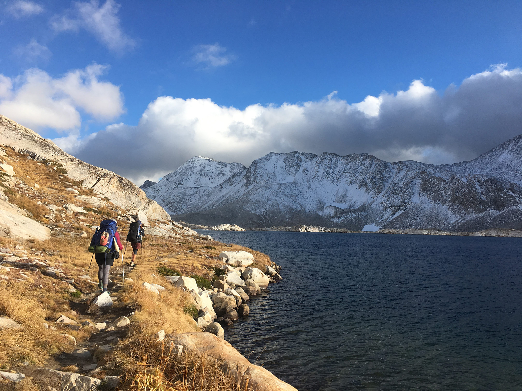
At this point, most people in the outdoor community have heard about thru-hiking. Yet its companion activity, section hiking, doesn’t quite enjoy the same popularity. As a burgeoning—if not fully burgeoned at this point—gap year activity, retirement plan or quit-your-job adventure, thru-hiking has come to dominate many conversations about backpacking.
This is because the Pacific Crest Trail and Appalachian Trail, both over 2,000 miles long, have seen a huge increase in the number of hikers in recent years. Moreover, due to the nature of the undertaking, they have become social media spectacles and attract a dedicated, talented and vocal community of backpackers. Which is good. More people spending more nights under the stars is a net positive for everyone.
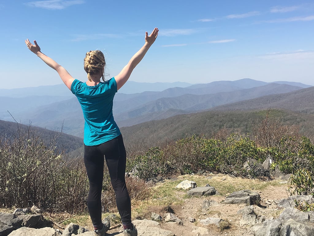
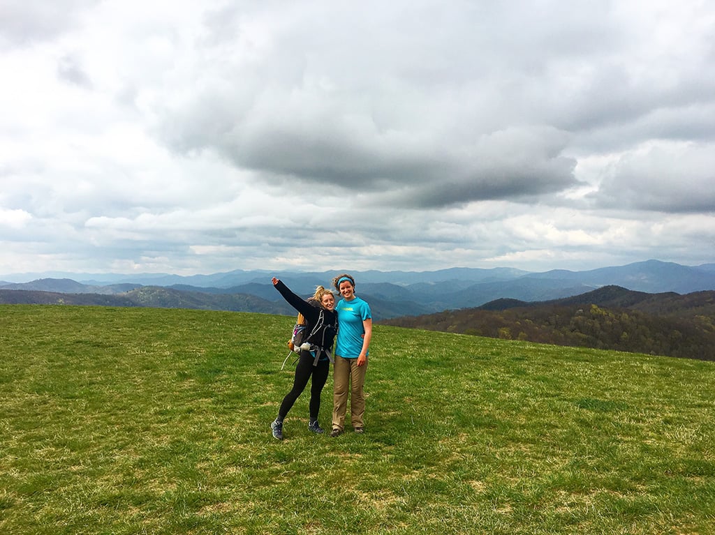
Still, if you are wanting in on the action without making a six-month commitment, a section hike is a perfect way to experience a long-distance trail.
WHAT IS SECTION HIKING?
Section hiking is just that – a section of any long-distance trail. It could be 5 miles or 500, it’s up to you how long or short you want your section to be. This type of hiking offers much of the thru-hiking culture and scenery without requiring the same time and financial commitment. More than that, you can cherry pick the most scenic sections of the trail and make the most of the time you have available.
PREPARING FOR A SECTION HIKE VS. A THRU HIKE
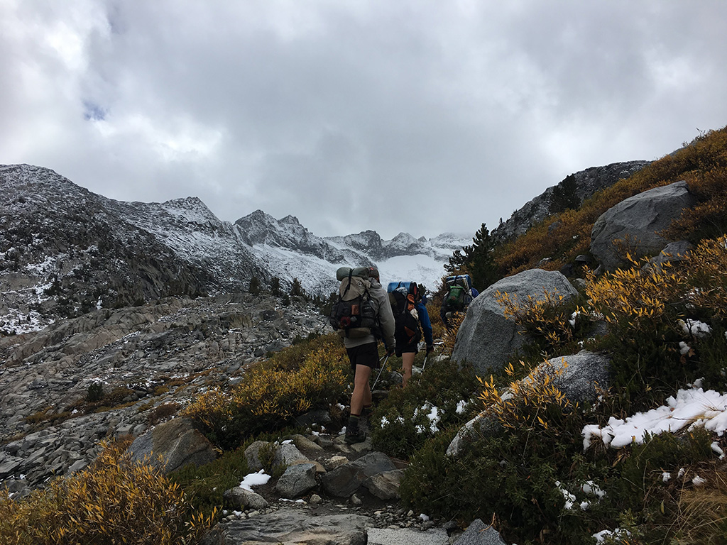
Preparation for a section hike can be much less daunting than prepping for a full blown thru-hike. Many thru-hikers will section hike first to test out gear and get a general sense of what long distance hiking is all about. Without the pressure of multiple re-supply logistics and committing to a full six months of backpacking, hikers can stress less about having a rock-solid plan and focus more on the trail unfolding before them.
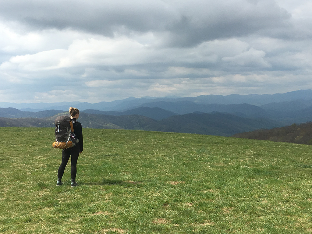
What you bring with you on a section hike depends on the length of your section, location and season. A section in the great smoky mountains of North Carolina and Tennessee is very different in May than it is in July, so pay attention to anticipated weather and temperatures when building your gear list. What you choose to throw in your pack could be very similar to that of a thru-hiker. However, due to the nature of your hike not lasting half the year, you don’t necessarily need to break the bank on gear. Also, you can afford to carry more weight and have a more comfortable, better fed trip.
Thinking a section hike is a great fit for you? Now all that’s left is to decide which section! Below are some popular sections of the Triple Crown Trails in the US. Here you’ll find the information you need to get started with your planning and prepare for your adventure!
POPULAR SECTIONS ON THE APPALACHIAN TRAIL
THE SMOKY MOUNTAINS, NORTH CAROLINA/TENNESSEE
 Distance: 71 miles
Average Length: 7 days
Where: Hiking South to North, you begin at Fontana Dam, NC 28 (Dam Visitor Centre) and finish at the Great Smoky Mountain National Park Southern Boundary at Davenport Gap TN 32, NC 284.
When to Go: Summer months (June, July & August) and early fall. Keep in mind July will be quite busy, while early fall will be a quieter time to visit, although brisker temperatures.
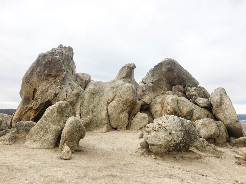
Description: Known for being a misty mountain range, these old mountains have a magical sense about them. You will be met with stunning views of the Smoky Mountains right away as you begin climbing out of Fontana Dam to an elevation of 5,000 feet, and eventually over 6,000 feet when you reach Clingman’s Dome, the highest point on the Appalachian Trail. Technically, the Smoky Mountains are the most visited National Park in the US seeing over 11 million visitors per year.
Permitting: Back country permits and Reservations should be made well in advance to secure your spot in shelters. Note that camping is only permitted at designated campsites and shelters in the park and tenting is typically not allowed at shelters for section hikers. You can obtain your permit and plan your shelter reservations on this website.
Things to Know: This park is well known for a high population of black bears and if you’re lucky, you will be able to spot one from a safe distance! Although bear barrels are not required for the park, each shelter is equipped with bear cables for you to hang your food on or bear boxes to put food in. Ensure all food and products with odor go into your food bag and store either in the bear box or on bear cable away from your tent or shelter.
Weather can be unpredictable in the park, so if you’re setting out in the spring be prepared for quick changes in weather and possible snow flurries. In summer months, while warm and humid, be prepared for afternoon thunderstorms and showers. Water resistant and breathable rain gear is a must for hiking through the smokies in any season. If hiking into the early fall, dress for cooler temperatures and be prepared for morning frosts.
How to Resupply/Meal Plan: About halfway through your journey (40 miles) you will come across Newfound Gap US 441 where you can reach the town of Gatlinburg, TN, a short 15 miles to the west. Hikers who pack one week’s worth of food and resupplies should be able to hike from one park entrance to the other without heading into Gatlinburg however, if you are craving a cooked meal or need to resupply, this old western themed town has a lot to offer!
MAX PATCH, NORTH CAROLINA/TENNESSEE
 Distance: 36 miles
Average Length: 2 – 4 days
Where: Where the Smoky Mountains section ends the Max Patch section takes off! Beginning at Davenport Gap you will hike to Hot Springs, NC 209, US 25/70. If looking for a shorter hike to the summit of Max Patch there is a parking lot less than a mile south of the summit at SR 1182 Max Patch Rd. where you can easily reach the top of Max Patch and return in one day.
When to Go: Spring hiking will showcase wildflowers, summer months means warm long days and early fall will show off a sea of red and orange.
Description: Max Patch is regarded by many as a jewel on the Appalachian Trail with its rolling green hills and mountain ranges in varying shades of blue for as far as the eye can see. While there is no camping allowed atop Max Patch summit there are nearby camp spots, so pitch your tent and walk up to enjoy the sunset or sunrise!
Permitting: No permits required.
Things to Know: Known for being a hiker friendly town, Hot Springs is a great place to end your hike with an abundance of hostels and restaurants. Make sure to check out one of the many Hot Spring spas in town to soak your feet!
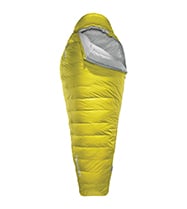
As a shorter hike, a little extra weight for a little extra comfort is not out of the question. There are many ways to be more comfortable on a backpacking trip, such as bringing fresh produce for a meal or two. One way we do that it is dialing up our sleep systems from our Fast & Light kits to our Trek & Travel kits. Bringing a NeoAir® Topo™ Luxe or a Trail Pro™ pad and a roomy sleeping bag like a Questar™ does wonders for ensuring pleasant nights under the stars. These items add a measure of reliable luxury to your backpacking experience, while still being light and compact enough to carry them on many trips, such as Max Patch. Don’t hesitate to treat yourself, you’re on vacation after all!
How to Resupply/Meal Plan: No resupply necessary. Carry your favorite backpacking meals and snacks, and enjoy your time cooking in the wilderness!
THE WHITE MOUNTAINS, NEW HAMPSHIRE
 Distance: 70 miles
Average Length: 7 days
Where: Known for being the most rugged mountains in New England, these challenging yet beautiful 4,000 footers span almost a quarter of New Hampshire. This section begins at Lost river road NH 112 also known as Kinsman Notch and ends at Pinkham Notch Visitor Centre, near the town of Gorhan NH. AMC (Appalachian Mountain Club) shuttles are available to shuttle hikers between the terminuses.
When to Go: Summer months and early fall.
Description: Between Appalachian Trail thru-hikers, tourists out to see Mount Washington and passionate ‘4,000 footer’ club hikers, these old mountain will see a fair share of people hitting the trail every year. It’s no wonder really, the Whites are a mountain range like no other.
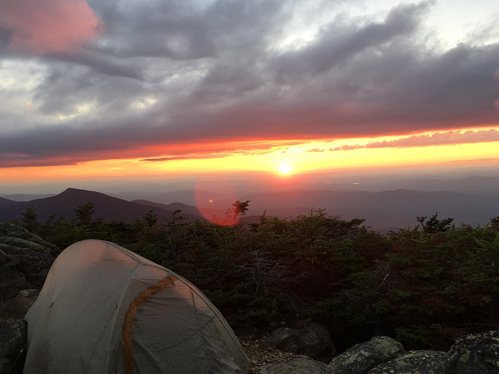
Despite the name, the White Mountains showcase deep shades of green and blue pitted against sparkling granite rock faces, delivering breathtaking sunsets and sunrises. Steep climbs up to Franconia Ridge and South Twin Peak offer never ending 360 views well worth the work. For many, a highlight of this trail will be the 8 mountain huts along the way maintained by the AMC where you can find hot beverages, delicious soup and if you wish, a bunk bed for the night.
Permitting: No permits needed. Campsites are first come first serve with some requiring a 10$ caretaker fee. Camp info and options can be found here.
Lodging in the AMC high mountain huts is a popular choice for hikers and an unforgettable experience. Here you can find information—including a map—of the huts and lodging reservations (suggested to book well in advance) If choosing one hut to stay in for your trip, the Lake of the Clouds Hut is a favorite by many.

Things to Know: Weather can be incredibly unpredictable in the White mountain range, especially atop the notoriously unassuming yet hazardous Mount Washington. At 6,288 feet, Mount Washington is the highest peak in the northeastern US and holds the record for fastest ever recorded windspeed for a land based mountain. To ensure a safe accent of Mount Washington check the daily weather forecasts at the Lake of the Clouds Hut and chat with staff before heading out. In fact, daily weather forecasts can be found at every high mountain hut. Hikers should be checking forecasts and preparing for unpredictable weather during their entire hike in the White Mountains.
How to Resupply/Meal Plan: If camping the entire way, a resupply is a good option for those looking to cut weight. At about halfway through—44 miles—Crawford Notch at US 302 is 3.5 miles west of the AMC Highland Center and 3.3. miles East of Crawford Notch General Store and Campground. There are shuttles available during peak season months to the AMC Highland Center and taxi services available as well. Note that high mountain huts along the trail offer limited snacks and lunch for purchase. If staying in lodges, full meal services available.
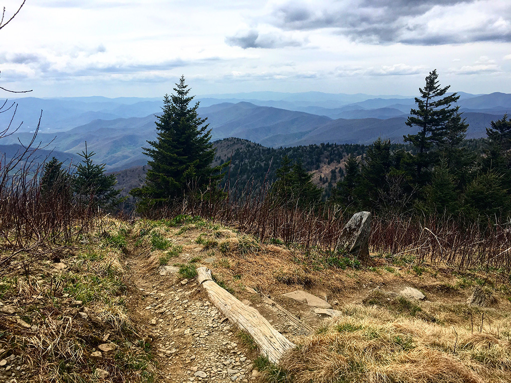
THE GRAYSON HIGHLANDS, VIRGINIA
 Distance: 63 miles
Length: 5 – 7 days
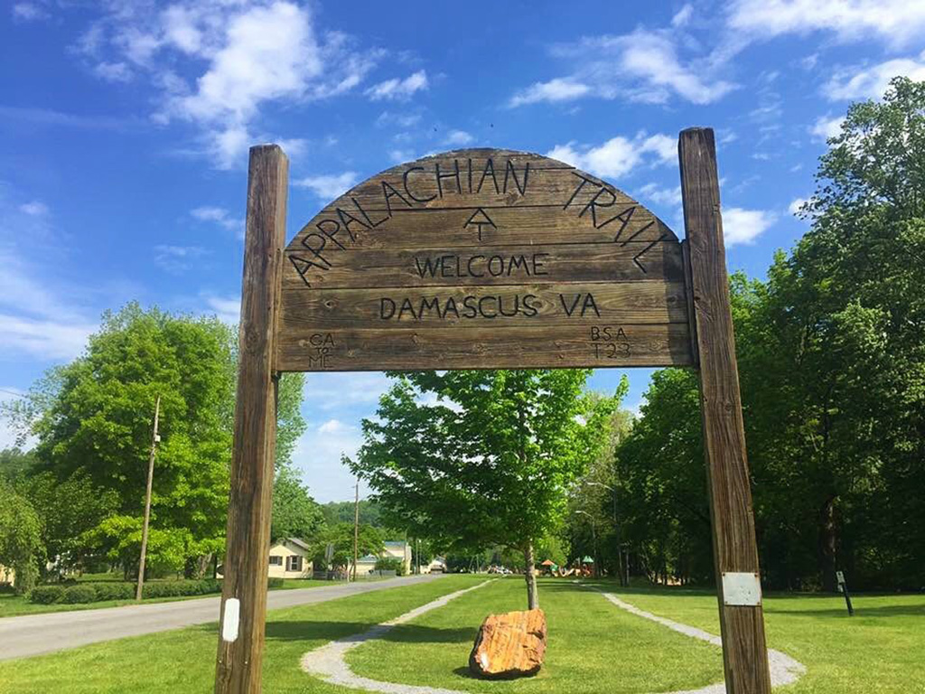
Where: Begin your hike in Damascus, VA and finish at the Mt Rogers Visitor Center, VA 16.
When to Go: Summer and fall months
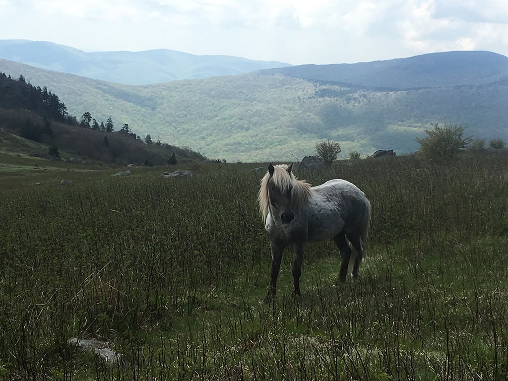
Description: Want a taste of the thru-hiker culture on the trail? Hiking North from Damascus in mid may will give you a good idea of what all the commotion is about. Departing from Damascus you will walk along the Virginia Creeper Trail, a winding section of the trail crossing many foot bridges feeling more like a stroll. You will then hike through the Grayson Highlands, a section loved for its abundance of wild ponies dispersed across the trail. While only 2.8 miles in length you will find over a hundred wild ponies, some eager to have their picture taken. You will finish your hike at the Mt Rogers Visitor Center just after passing by the Partnership Shelter made popular for its pizza delivery service.
Permitting: No permit required. Abundant camp spots and lean to’ shelters along the way.
Things to Know: If solidarity is your quest, this is not the trail for you, at least not in May or early summer months. This section of the trail leans more to the social experience of the trail lacking dramatic views or strenuous hiking.
How to Resupply/Meal Plan: This section is short enough to not require a resupply stop for most hikers.
POPULAR SECTIONS ON THE PACIFIC CREST TRAIL
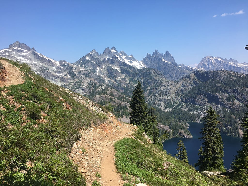
CASCADE MOUNTAINS & THE KENDALL KATWALK, WASHINGTON
 Distance: 98 miles
Average Length: 7 days
Where: Hiking South to North, begin at Stevens Pass, US 2 and finish at Snoqualmie Pass, I-90.
When to Go: June through to September.
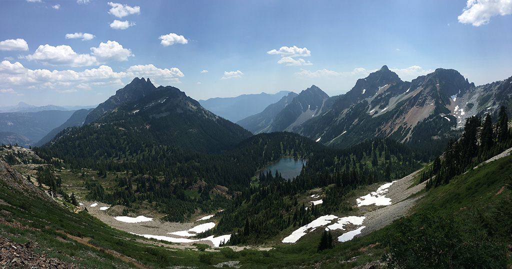
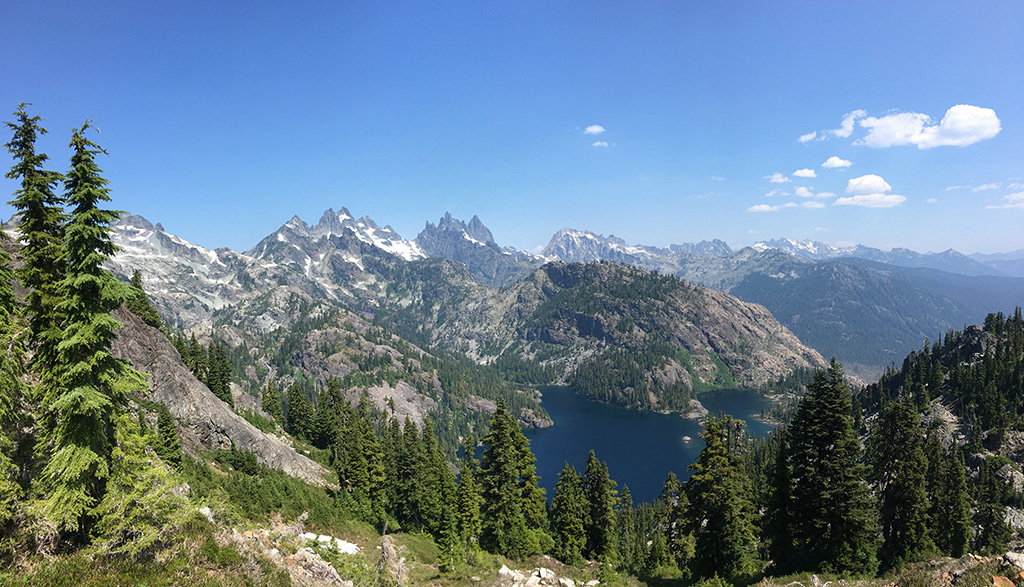
Description: This section could truly be regarded as one of the most physically demanding and visually rewarding on the entire Pacific Crest Trail. A truly remote wilderness, the North Cascade Mountains will make you feel like you are the only person atop those steep climbs and shores of high alpine lakes.
After climbing out of Stevens pass you will take in epic views along this entire section including Piper Pass, Deception Pass, Deception Lakes and Cathedral Rock, an almost 7,000 ft peak rising above the beautifully blue Peggy’s Pond. Before starting your descent into Snoqualmie Pass keep your wits about you as you walk the Kendall Katwalk; a winding footpath carved into a mountain side rising high above Alpine Lakes Wilderness. At the end of your hike head straight for the Aardvark Food Truck, a favorite by thru-hikers for its ‘hurry curry’ and not to be missed!
Permitting: Alpine Lakes Wilderness permits are available on a self-issue basis at trail heads. To camp within the Enchantment Permit Area you must enter a lottery system to avoid overuse in this fragile area. Go here for permitting in this area.
Things to Know: A couple talus fields (unstable scree) in this section can be hard on the feet, so be prepared with proper footwear. This is a strenuous section with possibility of unpredictable weather and even snow. Be prepared for high alpine camping with dropping temperatures in the evening with extra layers.
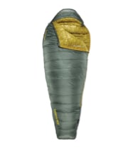
A warm, yet lightweight, sleep system is important. The NeoAir® XLite™ is the thru-hike pad of choice year after year for being exactly this. It is light, warm, and reliable. Pair it with a bag like a Parsec™, and you will have a sleep system prepared for every mile on either the PCT or the AT.
How to Resupply/Meal Plan: There is no real resupply in this section making this a more challenging hike for first time backpackers. Hikers are recommended to be capable of hiking 15 miles a day to ensure getting through the section with a week’s worth of food.
THE MOJAVE, SOUTHERN CALIFORNIA
 Distance: 98 miles
Average Length: 7 days
Where: You will begin your hike 8.5 miles east of Cabazon, CA at the intersection of Snow Creek Rd. and Falls Creek Rd. (Uber and Lyft available from Cabazon) and finish at the hiker friendly Warner Springs Community Centre, located just West of the town of Warner Springs, CA.
When to Go: Spring and fall to avoid extreme heat in the deep summer months.
Description: For many people their first thought when they think the Pacific Crest Trail is the Mojave Desert. Known for being exposed, hot, dry and demanding, you may remember Reese Witherspoon who plays Cheryl Strayed in the movie Wild, re-thinking her decision to hike the PCT as she walks past cacti and rattlesnakes in the sweltering heat.
While hikers will need to be prepared for carrying a lot of water and extreme temperatures, they will also see sunsets that last forever in shades of pink and watch the shadows of Joshua trees dance cross their tent at night. This section begins with a strenuous 26 mile climb up to Mount San Jacinto, but gentler terrain will follow with fun stops along the way! Make sure to check out the Paradise Valley Café just west on the Pines to Palms Highway halfway through your hike. If you’re feeling ambitious, Eagle Rock located 3.5 miles past Warner Springs Community Centre.
Permitting: Mount San Jacinto State Park requires a day use and overnight permit. Overnight permits can be obtained up to 8 weeks in advance. Check out this website for more information.
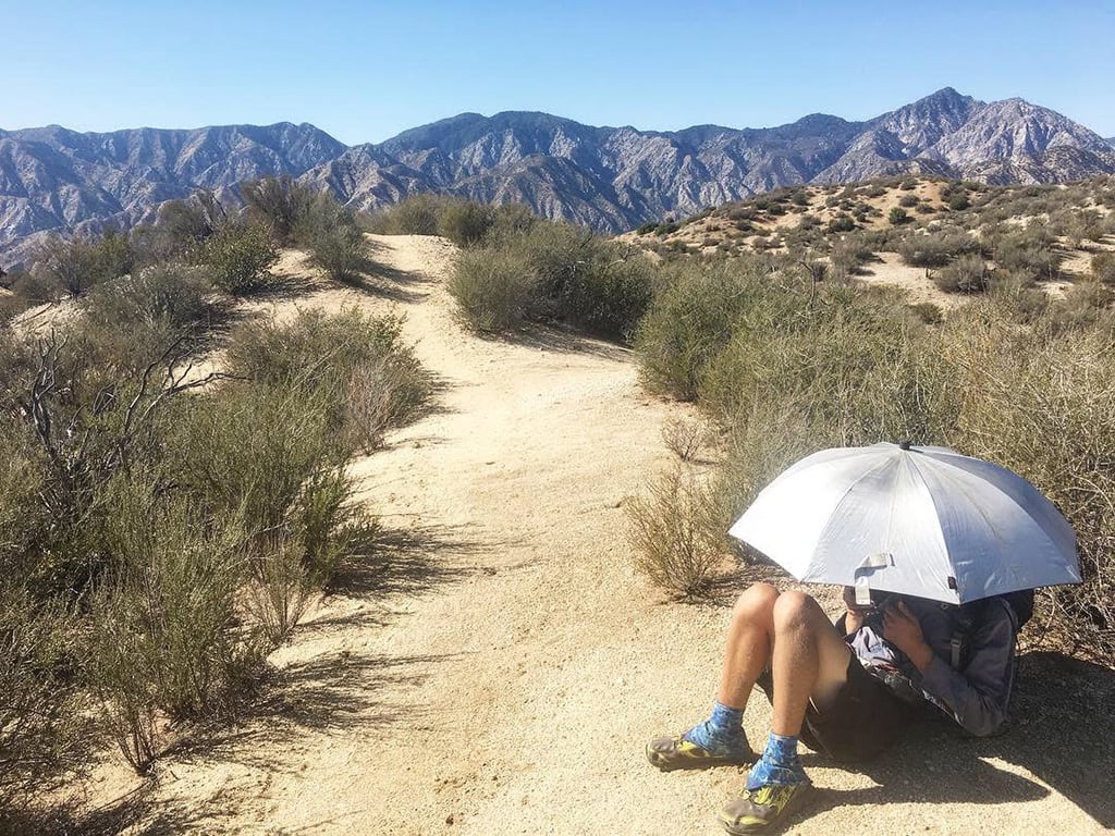
Things to Know: Mount San Jacinto is a demanding and exposed climb up to 10,600 feet, so make sure to bring plenty of water and proper sun protection. Water is of main concern when hiking in the Mojave Desert, therefore preparation and research of up to date water sources is vital. Helpful resources include the PCT water report and Guthook Guides for user comments and trail information.
How to Resupply/Meal Plan: At mile 55 you have the option of resupplying in the town of Anza, located just 3 miles west of Paradise Valley Café. For 5 dollars café owners have been known to give rides into town for resupplying hikers.